

What are the regions of Patagonia?
Harriet says

If you add up all the trips, I must have spent about a year in total in Patagonia and I don't think I've seen more than 10% of it. You don't ever get used to the scale of it. Every time, it takes your breath away because you'll be in a different part, or a different season. It's always new.
Harriet Pike Head of Swoop Patagonia
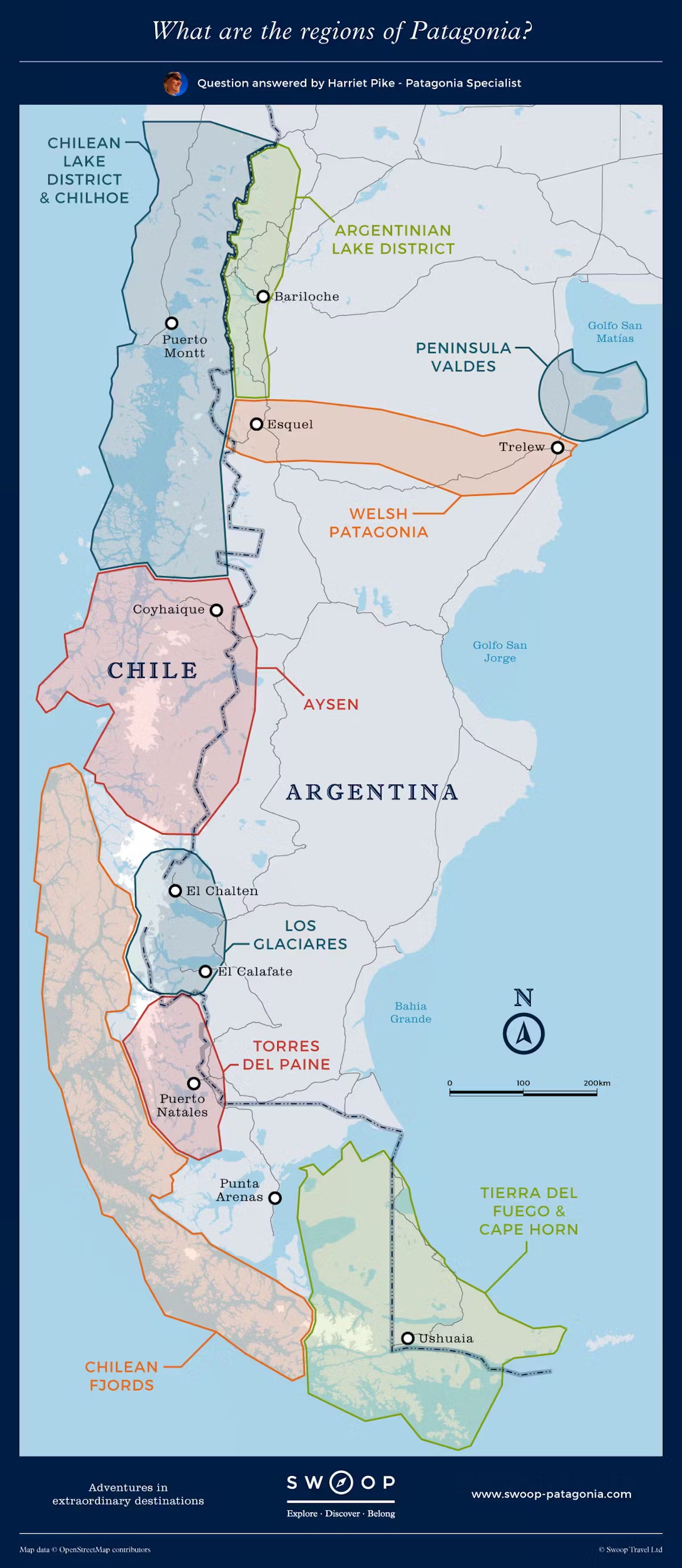
Regions and Geographical Landmarks of Patagonia
The major regions for adventure travel, from North to South are:
- The Chilean and Argentine Lake District
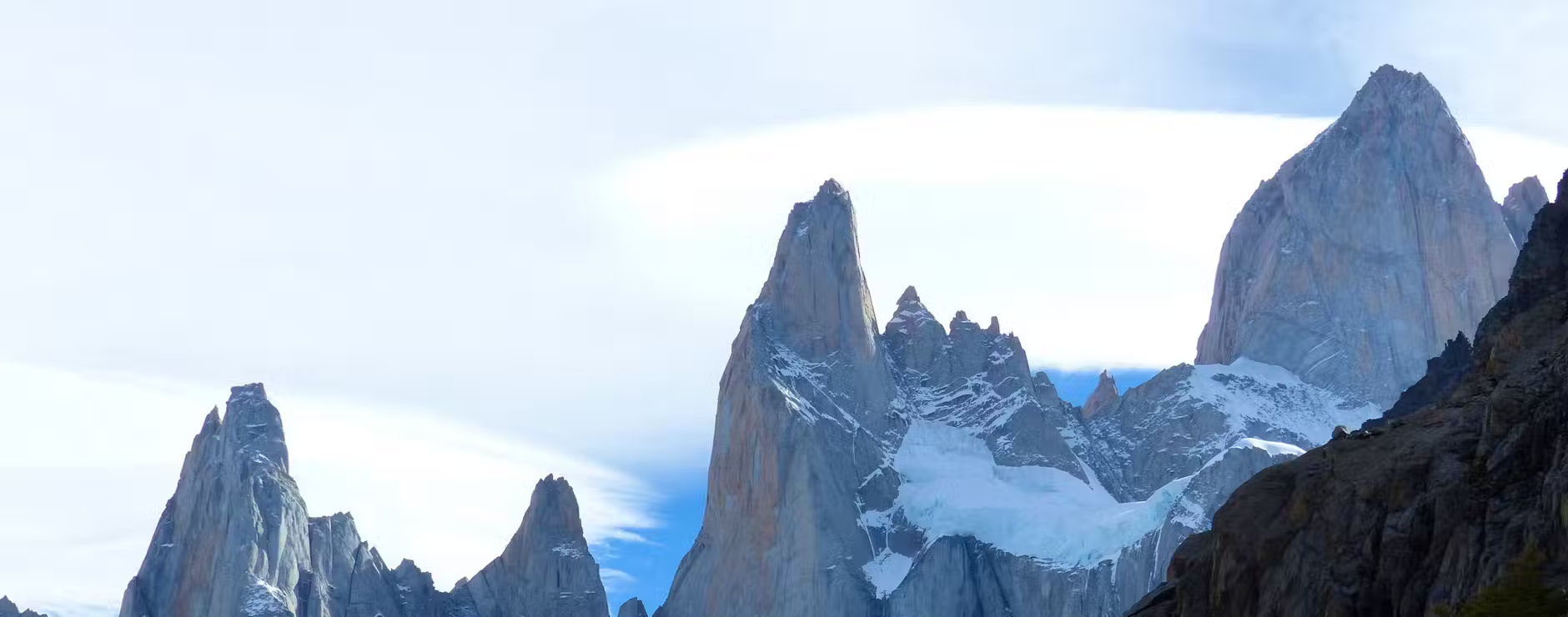
- El Chalten, Mount Fitz Roy, Perito Moreno and the South Patagonian Ice Cap
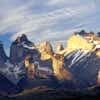
- Torres del Paine National Park
- Tierra del Fuego
Also, see our guide to where to go in Patagonia for more information on these places and other less visited destinations.
The major geographical landmarks are:
- The Patagonian Ice Cap (aka Hielo Continental, or Ice Sheet) - both North and the larger South can be seen when trekking in Patagonia. The Ice Cap feeds nearly 100 glaciers across the region
- The volcanoes of northern Patagonia
- The Magellan Straits and Cape Horn, which are visited on Patagonia Cruises
- The Andes themselves - although they lose some of their altitude as they extend south into Patagonia, they lose none of their drama or majesty. Trekking Fitz Roy and El Chalten allows you to behold the wonderful spectacle of Cerro Fitz Roy's 3,375m peak
- The Patagonian Steppe - thousands of miles of semi-arid desert lie to the East of the Andes and in their rain shadow
- The Carretera Austral - the 'Southern Highway' stretches through over 1200km of rugged Patagonian landscape
Swoop's Interactive Google Maps
Swoop has put together some Google Maps to help you understand Patagonia's Regions, Activities, Hotels & Airports.
Why Swoop
We’ve got our feet on the ground
Impartial advice and a bespoke service to make your trip perfect.
Deep Roots in Patagonia
We are former guides, tour leaders, outdoor enthusiasts & adventurers.
For The Ends Of The Earth
Swoop is proud to be B Corp Certified as we know sustainability is more than our carbon footprint (but we’re reducing that too).
We’re With You At Every Step
We’ll make sure you have the adventure of a lifetime.

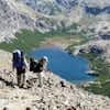
Hiking off the beaten track, Torres del Paine

El Chalten & the Fitzroy Massif

Vast waters and high peaks, Bariloche

Route of the 7 Lakes, Argentinian Lake District

Finish in Ushuaia - the Southern most city in the world

Viewpoint, Cochamo

Travelling on the Carretera Austral

Sea lions congregate by the cliffs in Valdes
.jpg?auto=format,enhance,compress&fit=crop&crop=entropy,faces,focalpoint&w=580&h=480&q=40)
Dunes of Atacama
.jpg?auto=format,enhance,compress&fit=crop&crop=entropy,faces,focalpoint&w=580&h=480&q=40)
Santiago surrounded by the mountains

Puerto Madero, Buenos Aires
Ready to plan your Patagonia adventure?
Listen
We'll spend some time listening to your aspirations, then discuss the kind of experience that might suit you.
Match
Next we'll discuss the options, shortlist the best trips for you and present you our impartial recommendations.
Reserve
We'll place a 24 hour hold on your preferred option - without obligation - whilst we talk through the details.


Whatever your budget, group size, length of stay, preferred activity or appetite for adventure, we can help.
1-855-369-7866